
Search our site
Looking for a specific file or document? Browse our Resource hub.
Looking for a specific file or document? Browse our Resource hub.
NIFCA uses evidence-based and appropriate measures to manage the sustainable exploitation of sea fisheries resources, delivering essential marine conservation in North Tyneside and Northumberland to support a prosperous and resilient coastal community.
Our approach
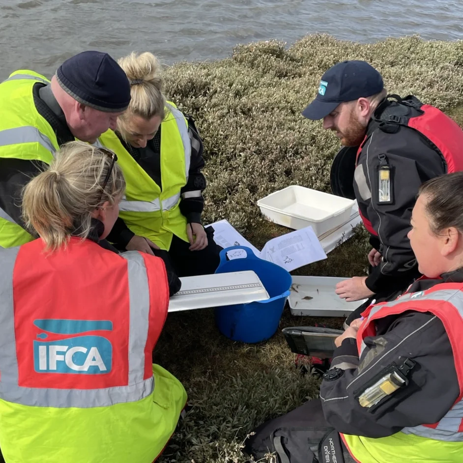
Our dedicated research team conducts in-depth studies into local fisheries and their interactions with the marine world to provide the Authority with a clear, factual basis for decision-making.
By combining desk-based analysis with on-the-water surveys and catch data, every measure we take is appropriate and proportionate. Through our Annual Research Plan and Environmental Risk Register, we maintain a transparent record of the evidence guiding our efforts to safeguard the district’s natural assets.
We lead the way in modern marine conservation in the NIFCA region by aligning local needs with national priorities. This collaborative approach ensures that management is flexible and fair, involving stakeholders in consultations to build trust and ensure our shared resources remain vibrant and viable.
Marine Protected Areas (MPAs)
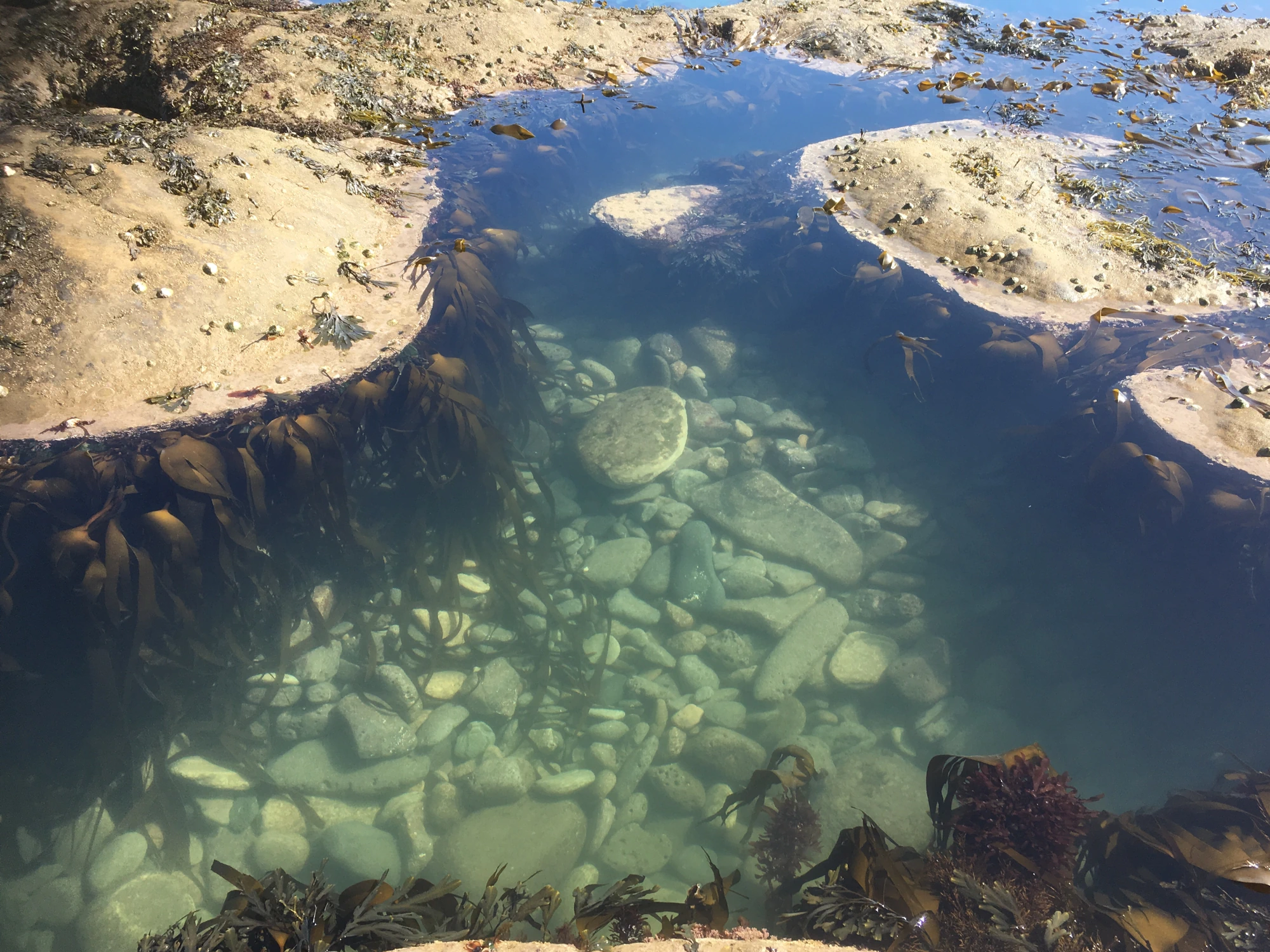
The coastal waters of the NIFCA district are of national significance, providing a home for a diverse range of marine wildlife and unique habitats. To protect these vital assets, our district includes ten designated Marine Protected Areas (MPAs), which encompass Marine Conservation Zones (MCZs), Special Areas of Conservation, and Special Protection Areas.
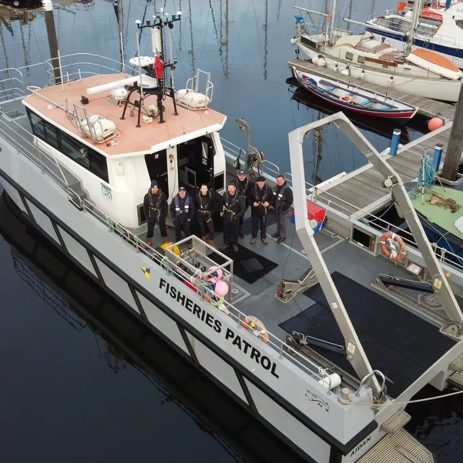
NIFCA holds a statutory duty under the Marine and Coastal Access Act 2009 and the Habitats and Species Regulations 2017 to manage fishing activity within these sites, ensuring it aligns with their specific conservation objectives. We achieve this through continuous monitoring and rigorous, data-driven assessments of how fisheries interact with protected features.
By implementing tailored management measures where necessary, we maintain a vital balance in the ecological integrity of our marine environments while supporting sustainable fishing practices.
Species & Fisheries Management
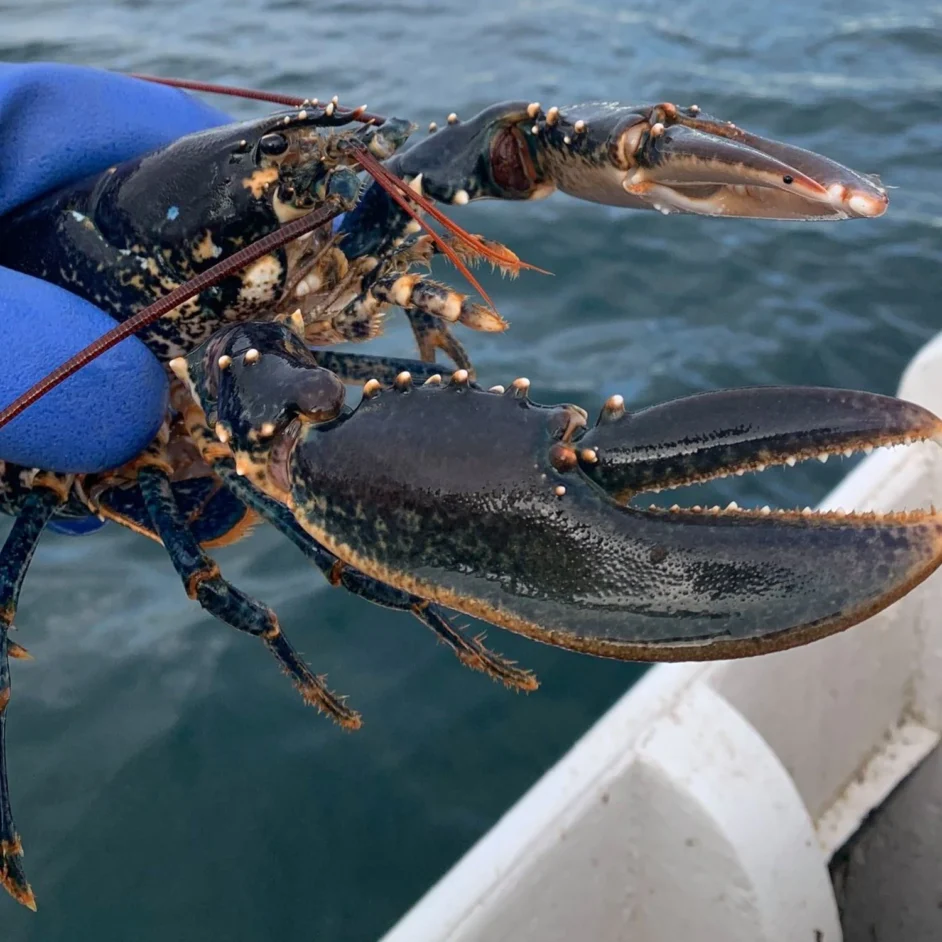
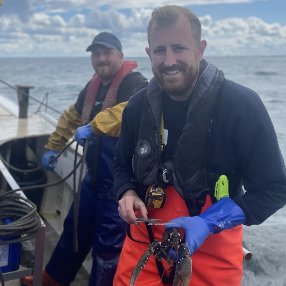
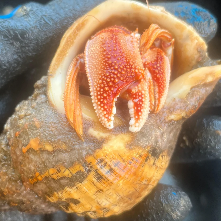
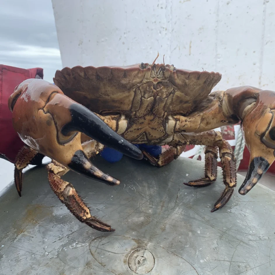
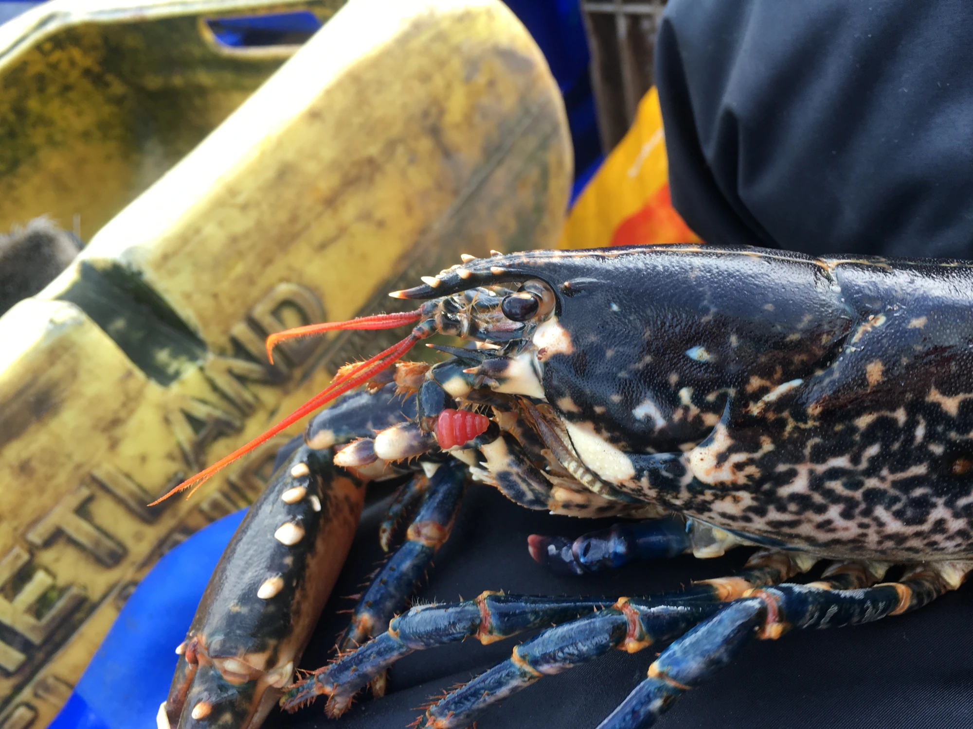
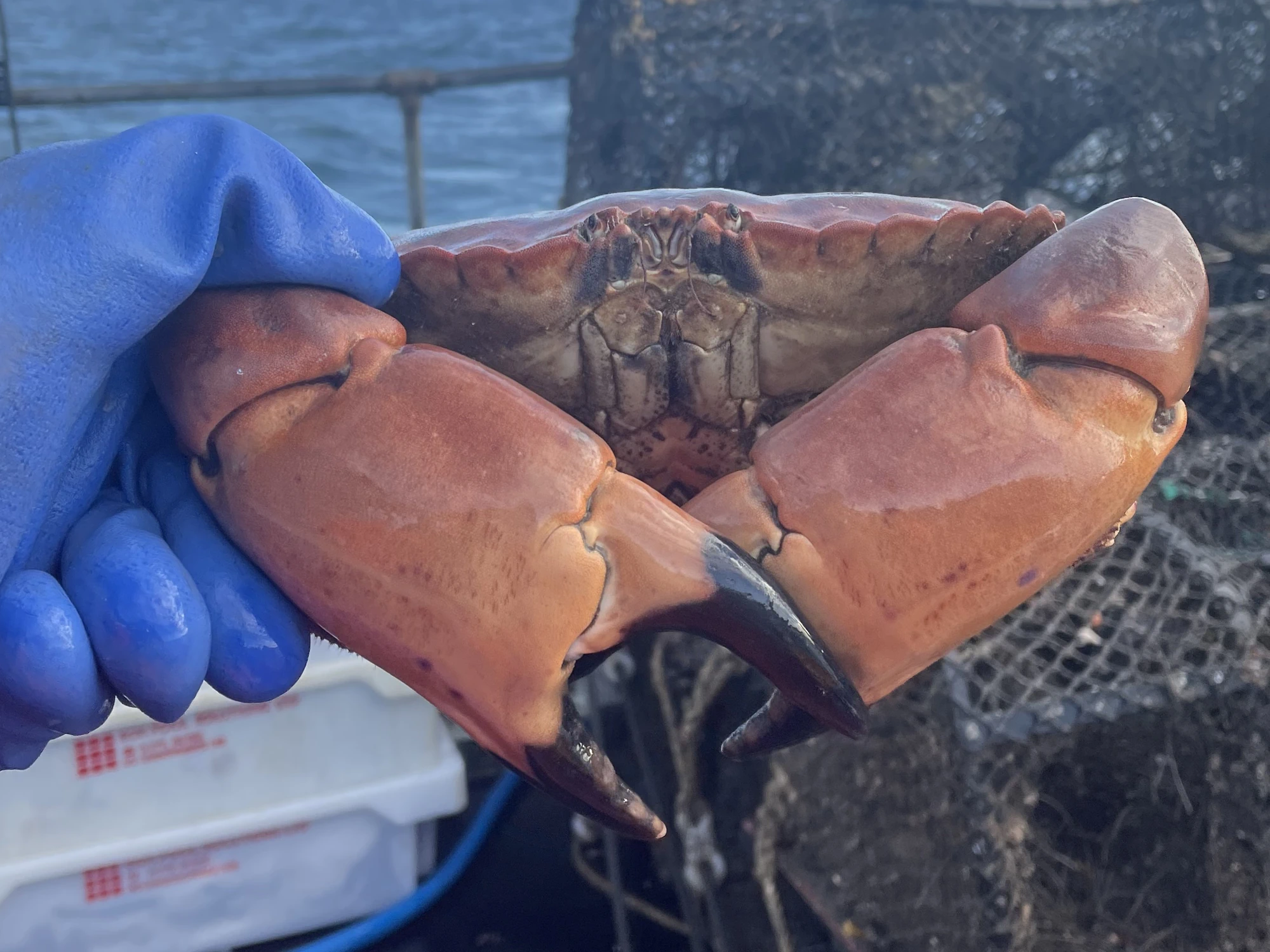
From the commercially essential lobster and crab stocks that form the backbone of our local industry, to the varied finfish and shellfish targeted by our active recreational community, we manage a wide spectrum of marine life. We make sure that our district’s resources are harvested responsibly, supporting the continued abundance of our most economically and ecologically important species.
Beyond direct species management, we also act as statutory consultees in marine planning and licensing. By engaging with emerging sectors like offshore wind and aquaculture, we ensure that the growing demand for marine space is managed sustainably.
Protecting local stocks
Conservation and fishing are two sides of the same coin; the health of our marine environment directly sustains the livelihoods and heritage of our coastal communities. Whether you are a commercial fisher or a recreational enthusiast, following our permit and management measures is the most direct way to contribute to the long-term vitality of North Tyneside and Northumberland waters.
By adhering to these standards, you are helping us protect the very stocks and habitats that make our district unique.


A collaborative approach
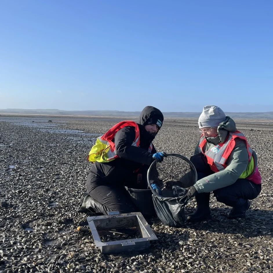
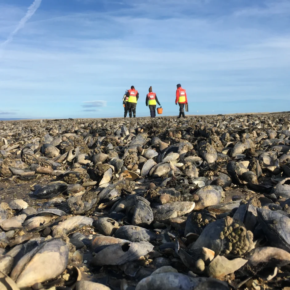
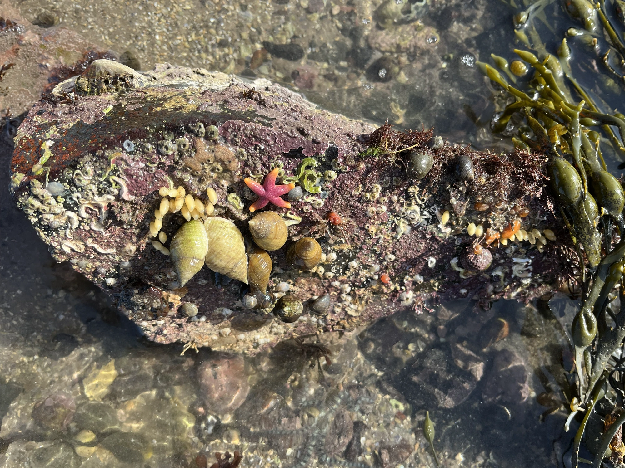
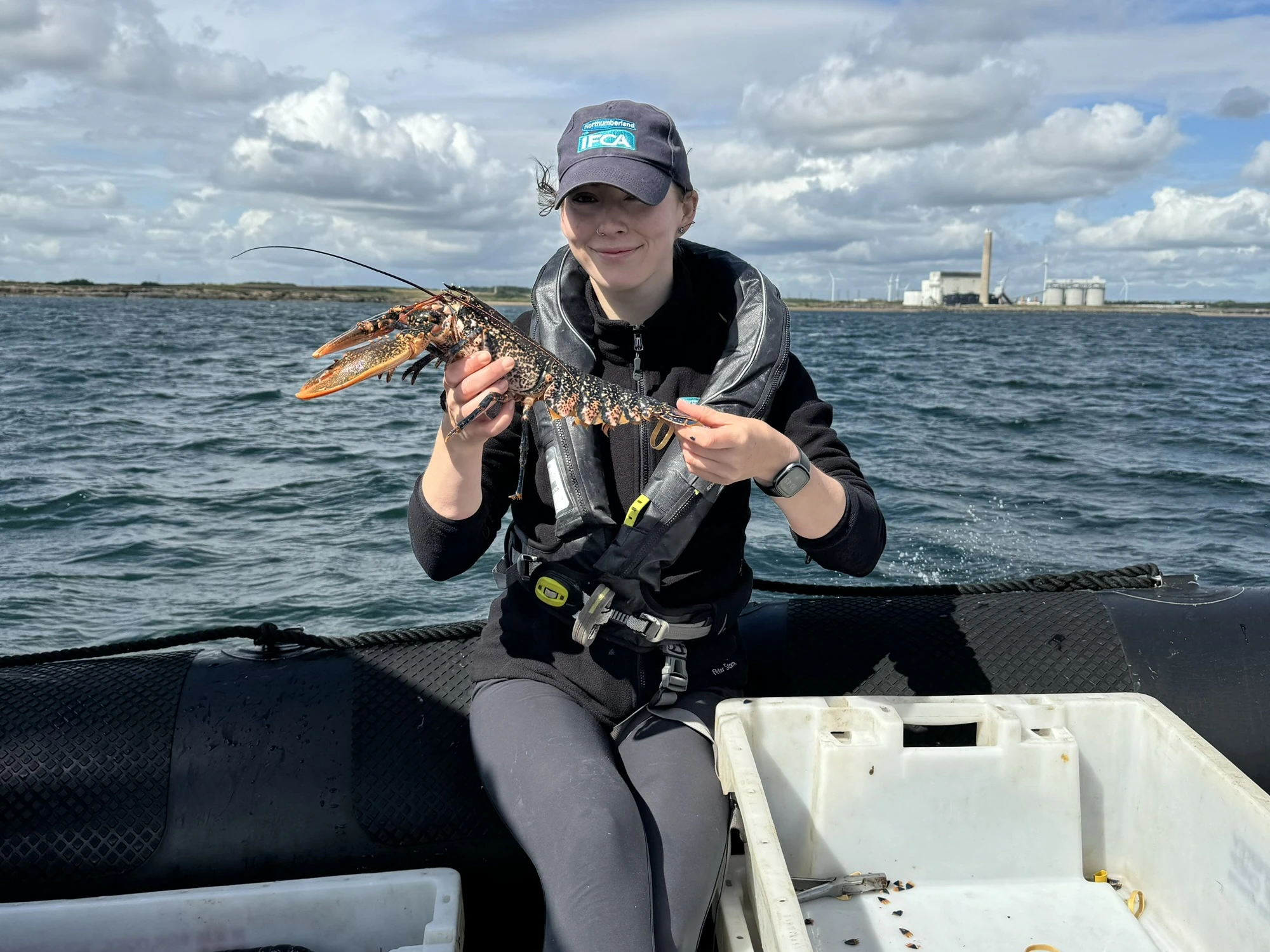
To ensure our decisions are grounded in reality, NIFCA’s research team maintains a diverse programme of scientific monitoring across the district’s estuaries, shores, and seabed. From annual surveys of intertidal mussel beds and periwinkle populations to recording juvenile fish communities in the Aln Estuary, we collect vital data on species health and habitat resilience.
We rarely work in isolation; instead, we collaborate with partners like Newcastle University and Natural England to verify our findings and investigate the impacts of fishing pressure.
By combining this local field research with catch data and volunteer sightings of marine life, we build a comprehensive picture of our district. This evidence directly informs our Annual Research Plan, ensuring that every management measure is proportionate and tailored to the unique needs of the North Tyneside and Northumberland coast.
Keeping standards high
Effective stewardship of our coastline relies on strong relationships and the exchange of knowledge across the marine community. We operate under formal Memoranda of Understanding (MoUs) and Joint Working Arrangements with key partners including the Marine Management Organisation (MMO), Natural England, the Environment Agency, Cefas, and Newcastle University, to ensure coordinated planning and clear management across the district.
These partnerships extend from scientific research and data sharing to multi-agency enforcement operations that ensure compliance with local and national legislation.
Beyond these national frameworks, we maintain essential cross-border relationships with the Tweed Commission and the Marine Directorate of the Scottish Government to manage fisheries that span the English-Scottish border. This collaborative spirit means that both the fishing industry and the environment benefit from high standards of evidence and a unified vision.