14 October 2026
Notice to Mariners – Berwick Bank Geophysical Survey – First Issue
Notice to Mariners

Looking for a specific file or document? Browse our Resource hub.
Northumberland Inshore Fisheries and Conservation Authority (NIFCA) has completed a busy programme of scientific surveys across its district this spring and summer, collecting vital data to support sustainable fisheries management and marine conservation.
From offshore Marine Conservation Zones to estuaries and intertidal habitats, NIFCA officers have been working alongside partners and volunteers to monitor marine habitats, fish populations and fishing activity.
The information gathered will help inform future management decisions and ensure they continue to be based on robust scientific evidence.
Monitoring habitats within the Coquet to St Mary’s Marine Conservation Zone
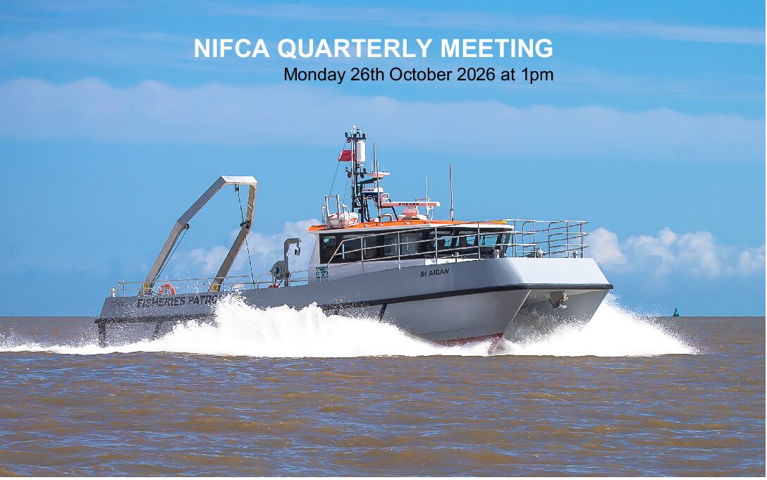
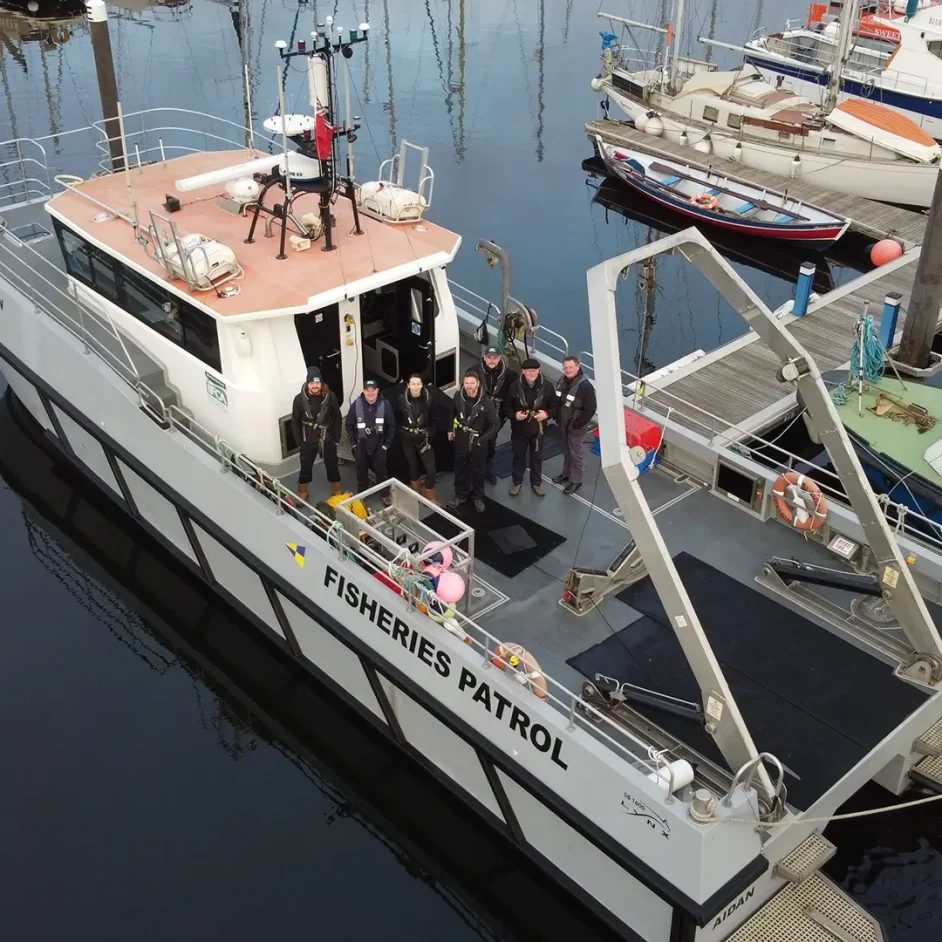
In May, the Authority completed a three-day survey within the Coquet to St Mary’s Marine Conservation Zone (MCZ) aboard Patrol Vessel St Aidan, working in partnership with Natural England and Cefas.
Officers collected sediment samples from 52 locations, including 21 priority subtidal mud sites, to assess changes in seabed habitats and marine communities compared with previous surveys.
Additional samples were also collected to investigate total organic carbon levels within seabed sediments, providing further insight into the role of muddy habitats in storing carbon and how these areas may be affected by different activities.
The results will support Natural England’s condition monitoring of the MCZ and help to inform the 2027 review of trawl management measures.
Annual Nephrops survey complete
NIFCA’s annual underwater television (UWTV) survey of the inshore Nephrops fishery was completed in June, with 41 survey stations monitored across the district.
Using a newly designed camera sledge, officers collected footage to count Nephrops burrows and assess the distribution and abundance of the local population.
The new sledge was designed to align with equipment used by the ICES Working Group on Nephrops Surveys (WGNEPS).
NIFCA would like to thank local engineering company TR Engineering Ltd for fabricating the equipment used during this year’s survey.
The findings will contribute to NIFCA’s ongoing monitoring of the fishery, with a full report due later this year.
Follow the link to read the findings of the 2025 survey : https://nifca.gov.uk/wp-content/uploads/2026/04/Nephrops-Burrow-Count-Survey-2025.pdf
Sharing expertise with Scottish Marine Directorate
The Authority also strengthened knowledge sharing with our colleagues in Scotland, with Fisheries and Conservation Officer Vicky Rae joining the Scottish Marine Directorate’s national Nephrops UWTV survey aboard the research vessel Scotia.
During the two-week survey, Vicky supported underwater camera operations, sediment sampling, data collection and analysis while travelling around Scotland’s coastline, including areas of the Moray Firth, Firth of Forth and Devil’s Hole.
The opportunity provided valuable experience and helped share best practice between marine monitoring teams.
Aln Estuary survey highlights a diverse fish community
NIFCA’s biannual Aln Estuary Fish Survey took place in May, supported by seven volunteers who helped officers collect important data on the estuary’s fish populations.
The survey monitors the role of the estuary as a spawning and nursery area for North Sea fish species, recording species presence, abundance, biological measurements and environmental conditions.
During the two-day survey, officers recorded 269 fish from nine species, including 106 lesser sandeel, 77 plaice, 47 sand goby and 26 flounder.
Long-term monitoring continues to demonstrate the importance of the Aln Estuary, with 25 species recorded since surveys began, including 16 commercially important species.
A further survey will take place later this year, with results analysed alongside previous years’ data.
Follow the link to view the 2025 survey report: https://nifca.gov.uk/wp-content/uploads/2026/04/Aln-Estuary-Fish-Survey-Report-2015-2025.pdf.
Drone surveys begin to map intertidal fishing activity
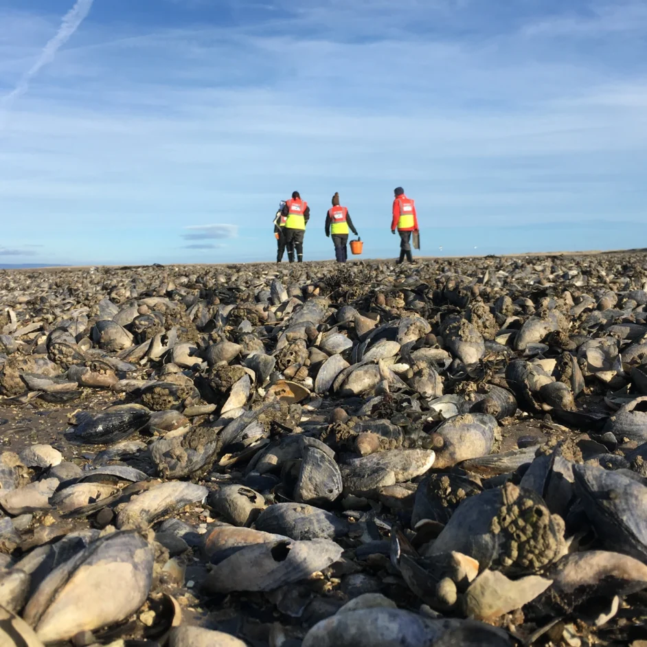
NIFCA has also started a new programme of drone surveys to better understand the distribution of Fisheries Aggregation Devices (FADs) within estuaries.
FADs are used on muddy estuary banks to provide shelter for shore crab collection, but their wider environmental impacts are not fully understood.
Drone surveys will be carried out at five estuary locations: Tyne, Blyth, Wansbeck, Coquet and Alnmouth. The imagery collected will be used to create detailed maps showing the location and number of FADs present.
The project will improve the Authority’s understanding of activity within intertidal habitats and support future assessments of potential impacts on protected marine features.
Building the evidence base for sustainable management
NIFCA’s extensive survey programme provides essential evidence to support the sustainable management of Northumberland’s marine environment.
Through long-term monitoring, new technology and collaboration with our partners, NIFCA continues to improve understanding of local marine habitats, fisheries and species, helping to balance conservation with the sustainable use of coastal resources.
All the Authority’s reports are available at the NIFCA Resource Hub, including its 2026/27 Research Plan. To find out more, follow the links below:
NIFCA Resource Hub: https://nifca.gov.uk/resource-hub/
Research Plan 2026/27: https://nifca.gov.uk/wp-content/uploads/2026/04/Annual-Research-Plan-2026-27-Appendix.pdf