Search our site
Looking for a specific file or document? Browse our Resource hub.
Looking for a specific file or document? Browse our Resource hub.

The site accessible by a tidal causeway contains rocky shore, large sand dunes, mud and sandflat habitats all acting as an important feeding areas for wading birds and tern species during the breeding season.
Read Natural England’s Conservation Advice on this site.
For more site information visit here.
Size: 36 km2
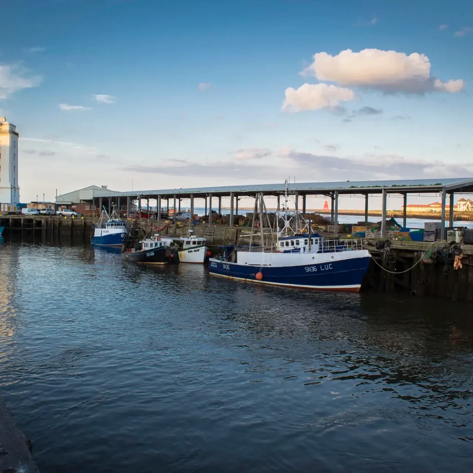
The NIFCA district covers six nautical miles of vital inshore waters, stretching from the River Tyne to the Scottish border. Explore the links below to see how we manage, protect, and remain accountable for these diverse coastal environments.
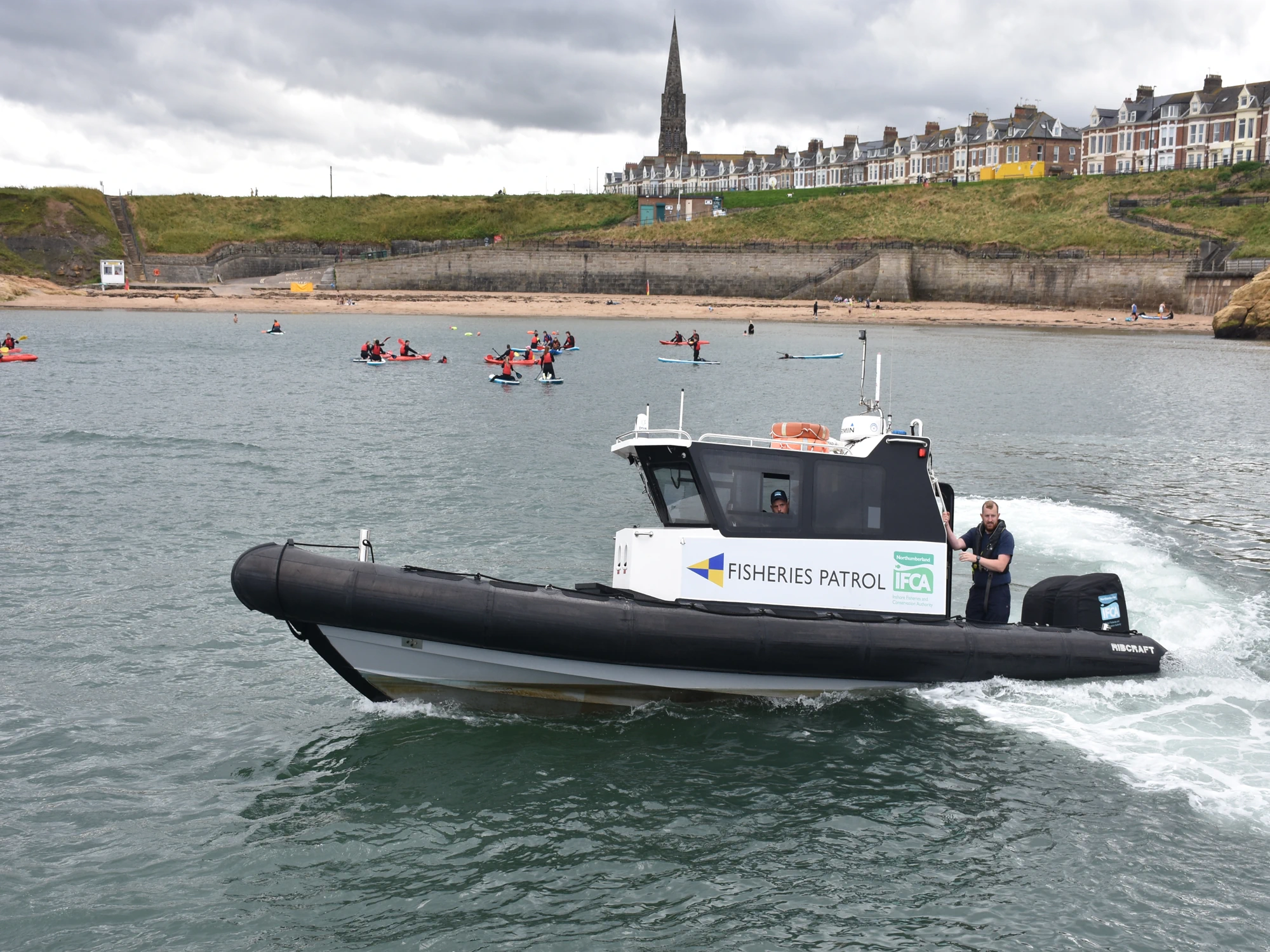
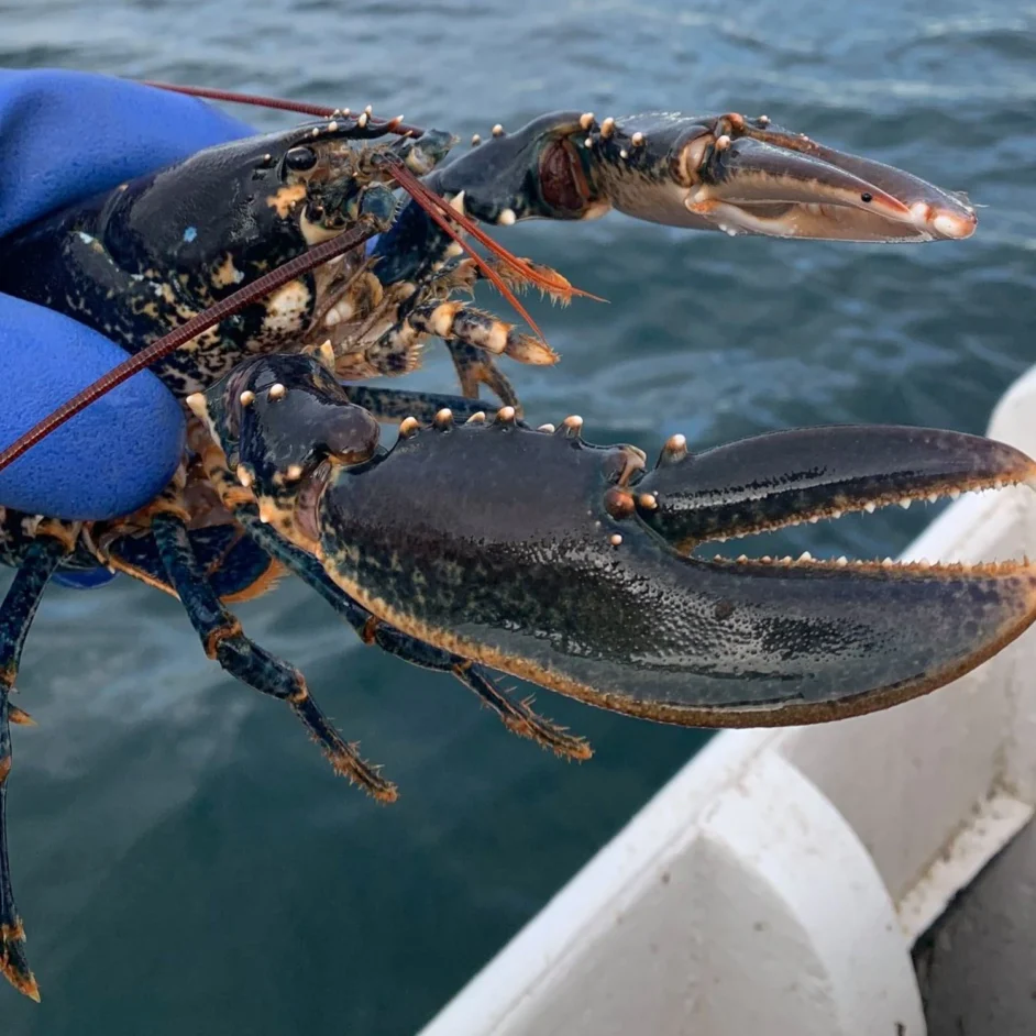
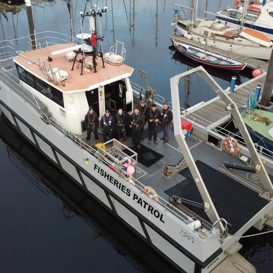
Discover how our team patrols the coast to ensure fair play and protect our shared marine resources through proactive enforcement.

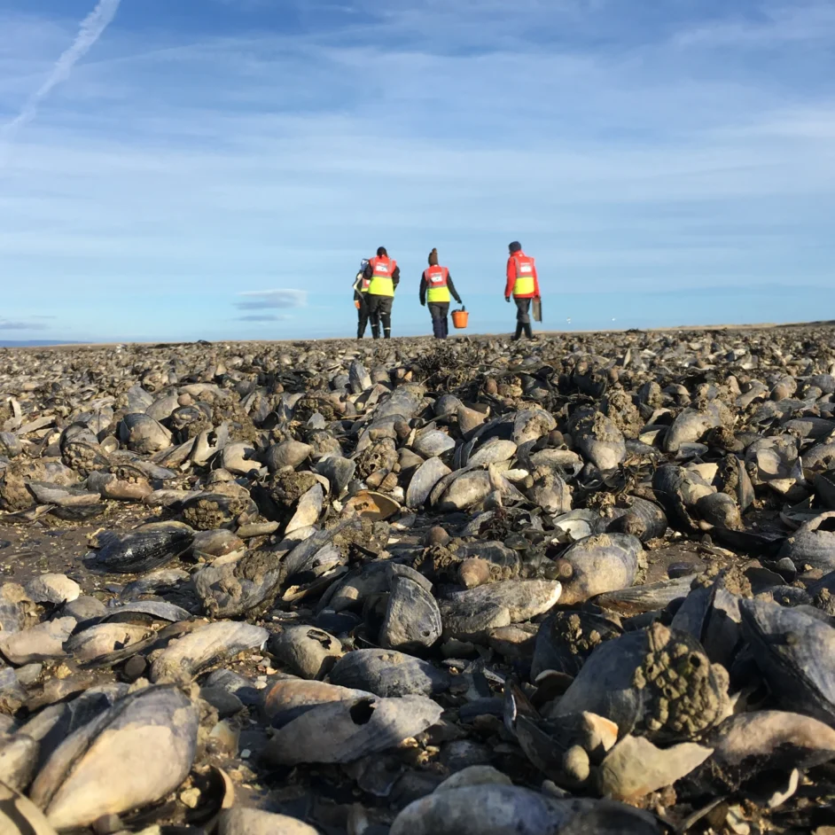
Learn how we safeguard the ecological health of the district. We conduct essential scientific monitoring and surveys to ensure a sustainable future across the inshore zone.
NIFCA operates with a commitment to public accountability. See how we make decisions, report on our performance, and balance the needs of the region's fishing community.